
Waterfront Master Plan
Waterfront Master Plan


About the Project

The Waterfront Master Plan is a guiding document that organizes and prioritizes a plan for the renewal of public waterfront spaces, as well as, to improve and increase public waterfront access and improve connectivity along the waterfront.
The plan was developed with extensive and collaborative public and stakeholder consultation between 2014 and 2016. The plan was approved by Council on March 22, 2016. In 2017, the Waterfront Master Plan won a Canadian Society of Landscape Architect’s National Award of Excellence in the category of large-scale planning and analysis.
There are 138 projects identified and prioritized, along 280 kilometres of shoreline, in the Waterfront Master plan to be implemented over a 30 year period. For the purpose of creating a connected system, the plan included the west limit of the City at Collins Bay to St. Lawrence River near Abbey Dawn Road, and northerly along the Great Cataraqui River to Kingston Mills Lock station.
The implementation plan includes 3 main streams of projects including signature projects, major projects and minor projects. Some of the signature projects include renovation to:
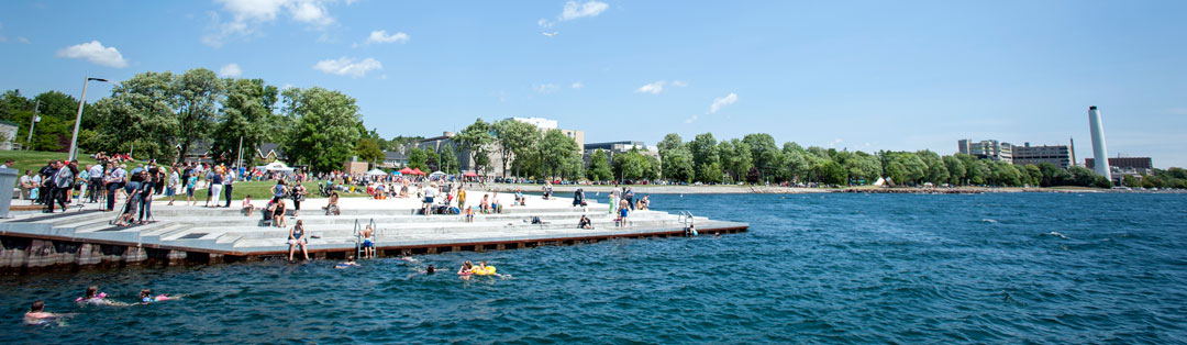
- Breakwater Park and Gord Edgar Downie Pier
- Belle Park
- Douglas R. Fluhrer Park
- Macdonald Memorial Park
- Confederation Park
- Grass Creek Park
- Cecil and Wilma Graham Park
For information about planned works and completed projects, view the Latest Updates page.
Key components of the Waterfront Master Plan
- Executive Summary
- Volume One: Background - context, community involvement, inventory and analysis
- Volume Two: Master Plan - vision, waterfront code, effecting policy, waterfront projects
- Volume 3: Implementation - project implementation, project priority, cost estimate, project forecast, land access strategy
- Appendix A: Community Engagement
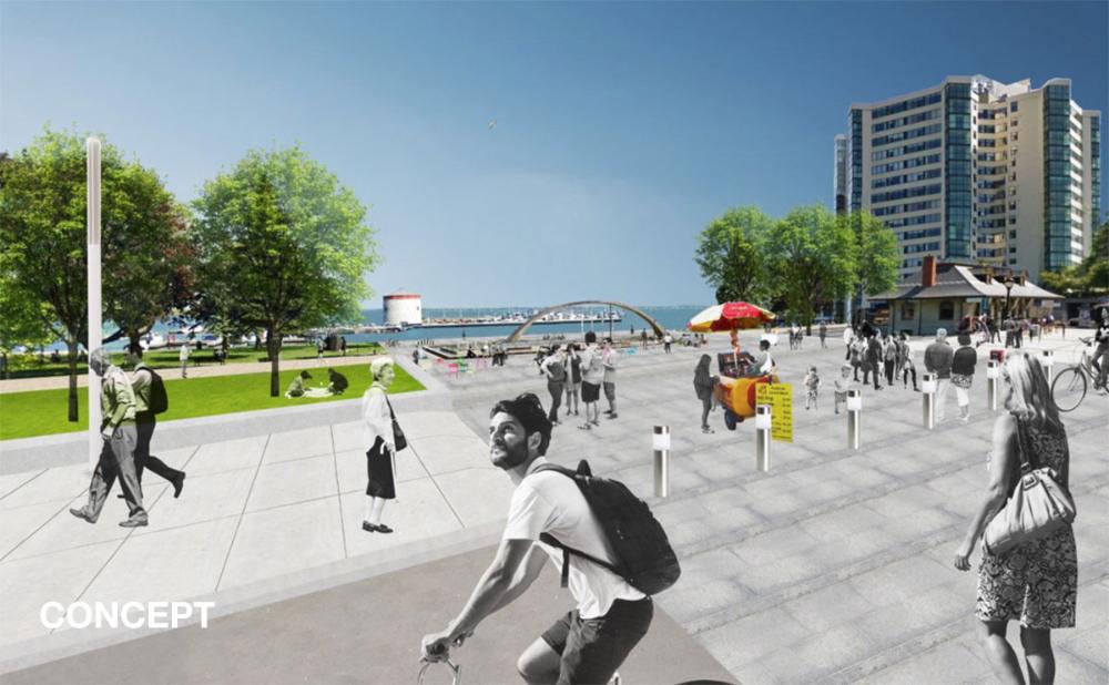
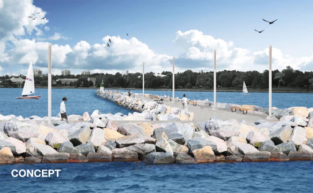
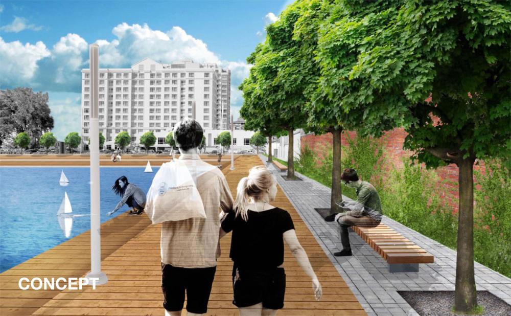
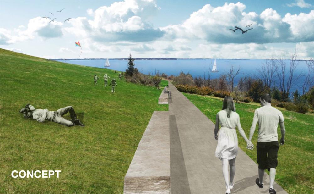
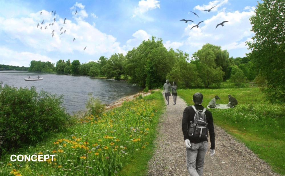
- Appendix B: Project Sheets - 138 projects along the waterfront illustrated by conceptual improvements and connections
- Appendix C: Priority Matrix - project evaluation
- Appendix D: Cost Assumptions - projected cost in 2016 dollars
- Appendix E: Project Feasibility
- Appendix F: Land Access Strategy
Explore Kingston's Waterfront
You can explore Kingston's waterfront in person by walking along the Waterfront Pathway, an 8-kilometre public route, or online with the interactive waterfront story map.